Exploring the Patagonian & Fuegian Channels Map: Your Guide to Chilean Fjords Adventure
Our Product Insight
The Patagonian & Fuegian Channels Map is more than just a navigational tool; it’s your gateway to exploring one of the most breathtaking regions on Earth. Covering the stunning Chilean fjords, including iconic locations like Cape Horn, Ushuaia, and the Magellan Strait, this map is designed for adventurers, sailors, and nature enthusiasts alike. Whether you’re planning a cruise or simply dreaming of the rugged beauty of Patagonia, this map serves as a valuable companion.The intricate details and vibrant illustrations capture the essence of the landscape, making it not only functional but also a beautiful piece to display. As you embark on your journey through these majestic waters, having a reliable map can enhance your experience, allowing you to appreciate the natural wonders that surround you.
Key Features
The Patagonian & Fuegian Channels Map boasts several features that make it stand out:- Detailed Cartography: The map provides comprehensive coverage of the fjords, highlighting key landmarks, routes, and navigational aids. This level of detail is essential for anyone looking to explore the intricate waterways of the region.
- Durable Material: Printed on high-quality, weather-resistant paper, this map is designed to withstand the elements. Whether you’re on a boat or hiking along the coast, it can handle the rigors of outdoor use.
- User-Friendly Design: The layout is intuitive, making it easy to read and navigate. With clear labels and a well-organized format, you won’t have to struggle to find your way.
- Cultural Insights: The map also includes information about the local culture and history, enriching your journey with context about the stunning landscapes you’ll encounter.
- Compact Size: It’s easy to pack and carry, ensuring that you can take it with you wherever your adventures lead.
While the map excels in many areas, it’s worth noting that it may not include every single detail of every waterway. Some users might find that they need supplementary resources for more specific navigation needs. However, for general exploration and enjoyment, it’s a fantastic tool.
Who It's For
The Patagonian & Fuegian Channels Map is perfect for a variety of users:- Sailors and Boaters: If you’re planning a sailing trip through the fjords, this map is an essential tool for navigating the often challenging waters. It provides the necessary information to help you chart your course safely.
- Hikers and Nature Lovers: For those who prefer to explore on foot, the map offers insights into the best hiking trails and scenic viewpoints. It’s a great resource for planning day trips or longer treks in the region.
- Travel Enthusiasts: Even if you’re not actively exploring, this map can serve as a beautiful piece of art to inspire your wanderlust. It’s a wonderful addition to any travel-themed collection.
- Educators and Students: If you’re studying geography or environmental science, this map can be a valuable educational tool. It illustrates the unique geography and ecosystems of the Patagonian region.
In conclusion, the Patagonian & Fuegian Channels Map is a versatile and informative resource for anyone interested in exploring the stunning landscapes of Chilean fjords. With its detailed cartography, durable design, and cultural insights, it’s a wonderful companion for your adventures. Whether you’re sailing through the channels or hiking along the coast, this map will help you navigate the beauty of Patagonia with confidence and ease.
More Products You Might Like

2Pack Vacuum Storage Bags for Clothes, 40x60cm Travel Essent

Looxmeer Travel Wallet, Family Passport Holder, RFID Blockin
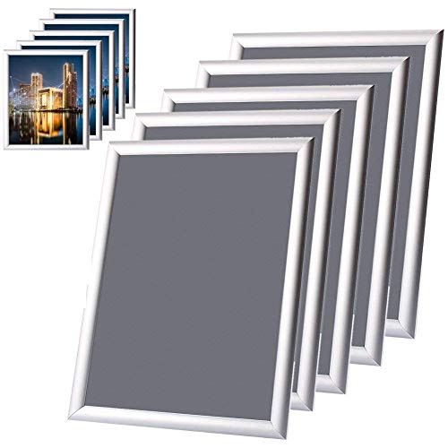
Snap Poster frame, 5x A4 Waterproof Aluminium Silver Snap Pi

BrambleCo 2 Pcs RV Camper Keychain - caravan keyring - campe

Travel Blanket Pillow with Pockets Airplane Blanket Set Plan
Disclaimer: This article has been generated through our AI content insight system and is intended for general informational purposes only. Please carry out your own research and review product details directly before making any purchase decisions.